![]()
|
Touch State Abbreviation to show image of state and flag. The Origin and Meaning of state names represent the prevailing consensus. Click on any underlined name or place for more information. Population is according to the 2023 estimated census and Gross Domestic Produce is from the Bureau of Economic Analysis. (See the map for renaming the states based upon contemporary naming practices.) |
![]()
Sorted by Lowest Point Above/Below Sea Level
Touch state abbreviation for image of state and flag.
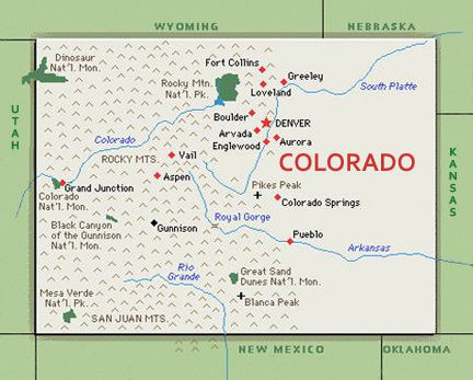
#1 Colorado CO •Elevation of 14,440 ft. at Mount Elbert to 3,317 ft. at Arikaree River, difference of 11,123 ft. |
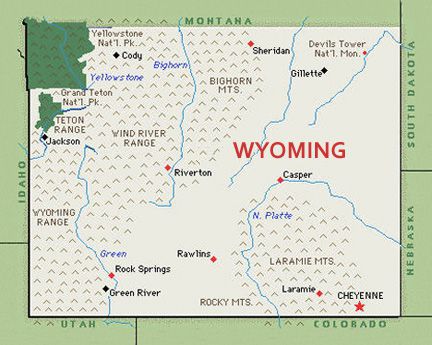
#2 Wyoming WY •Elevation of 13,809 ft. at Gannett Peak to 3,099 ft. at Belle Fourche River, difference of 10,710 ft. |
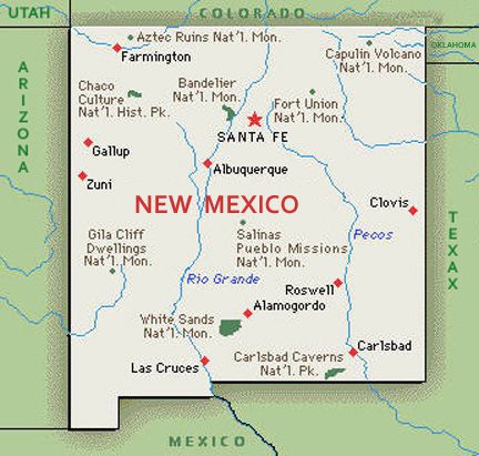
#3 New Mexico NM •Elevation of 13,167 ft. at Wheeler Peak to 2,842 ft. at Red Bluff Reservoir, difference of 10,325 ft. |
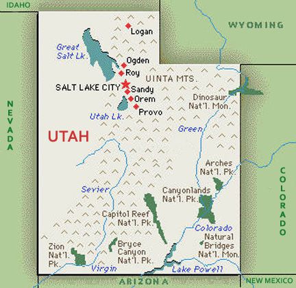
#4 Utah UT •Elevation of 13,528 ft. at Kings Peak to 2,000 ft. at Beaver Dam Wash, difference of 11,528 ft. |
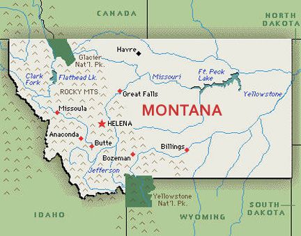
#5 Montana MT •Elevation of 12,807 ft. at Granite Peak to 1,800 ft. at Kootenai River, difference of 11,007 ft. |
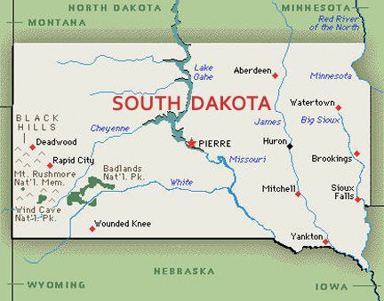
#6 South Dakota SD •Elevation of 7,244 ft. at Harney Peak to 966 ft. at Big Stone Lake, difference of 6,278 ft. |
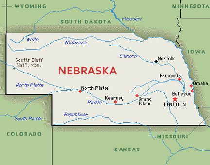
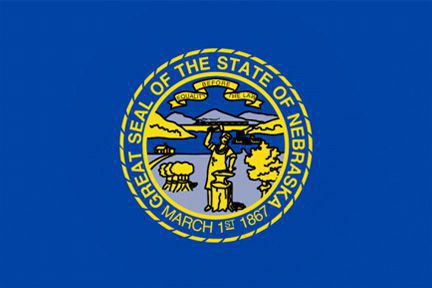
#7 Nebraska NE •Elevation of 5,424 ft. at Panorama Point to 849 ft. at Missouri River, difference of 4,575 ft. |
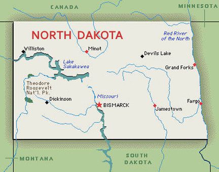
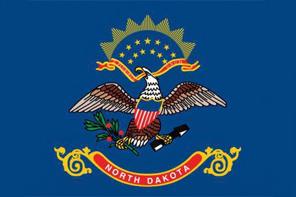
#8 North Dakota ND •Elevation of 3,506 ft. at White Butte to 750 ft. at Red River, difference of 2,756 ft. |
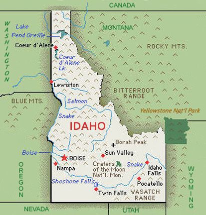
#9 Idaho ID •Elevation of 12,668 ft. at Borah Peak to 710 ft. at Snake River, difference of 11,958 ft. |
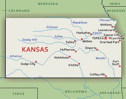
#10 Kansas KS •Elevation of 4,039 ft. at Mount Sunflower to 679 ft. at Verdigris River, difference of 3,360 ft. |
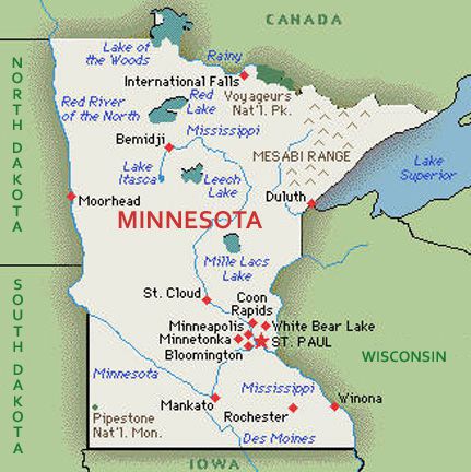
#11 Minnesota MN •Elevation of 2,301 ft. at Eagle Mountain to 601 ft. at Lake Superior, difference of 1,700 ft. |
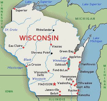
#12 Wisconsin WI •Elevation of 1,951 ft. at Timms Hill to 579 ft. at Lake Michigan, difference of 1,372 ft. |
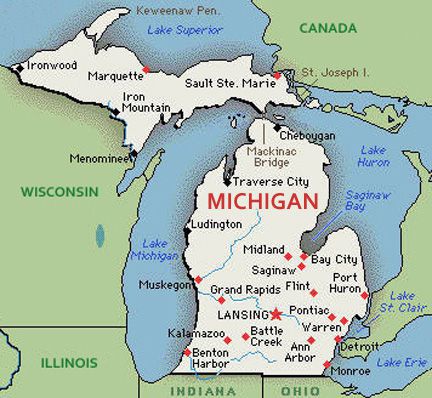
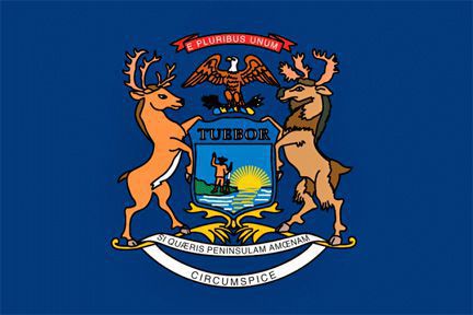
#13 Michigan MI •Elevation of 1,979 ft. at Mount Arvon to 571 ft. at Lake Erie, difference of 1,408 ft. |
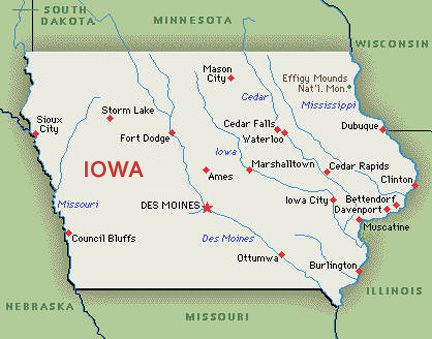
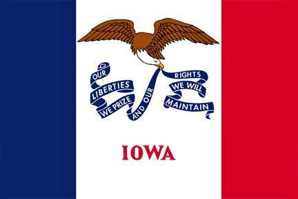
#14 Iowa IA •Elevation of 1,670 ft. at Hawkeye Point to 480 ft. at Mississippi River, difference of 1,190 ft. |
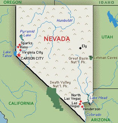
#15 Nevada NV •Elevation of 13,147 ft. at Boundary Peak to 479 ft. at Colorado River, difference of 12,668 ft. |
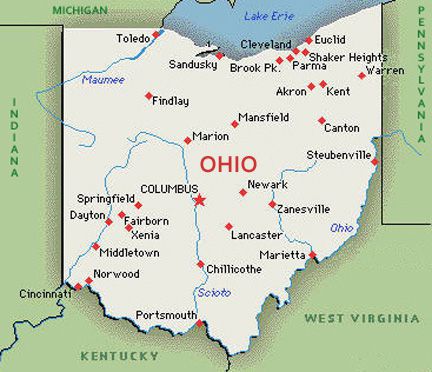
#16 Ohio OH •Elevation of 1,550 ft. at Campbell Hill to 455 ft. at Ohio River, difference of 1,095 ft. |
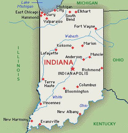
#17 Indiana IN •Elevation of 1,257 ft. at Hoosier Hill to 320 ft. at Ohio River, difference of 937 ft. |
|
Sorted by Lowest Point Above/Below Sea Level |
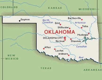
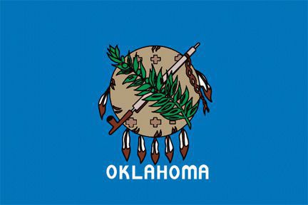
#18 Oklahoma OK •Elevation of 4,973 ft. at Black Mesa to 289 ft. at Little River, difference of 4,684 ft. |
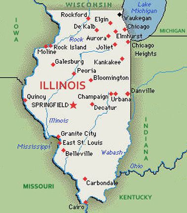
#19 Illinois IL •Elevation of 1,235 ft. at Charles Mound to 279 ft. at Mississippi River, difference of 956 ft. |
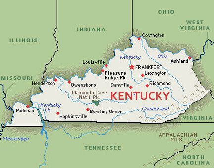
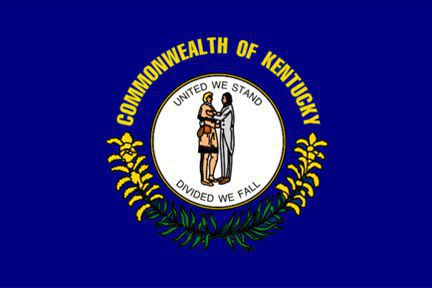
#20 Kentucky KY •Elevation of 4,145 ft. at Black Mountain to 257 ft. at Mississippi River, difference of 3,888 ft. |
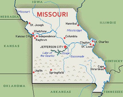
#21 Missouri MO •Elevation of 1,772 ft. at Taum Sauk Mountain to 230 ft. at Saint Francis River, difference of 1,542 ft. |
#22 Tennessee TN •Elevation of 6,643 ft. at Clingmans Dome to 178 ft. at Mississippi River, difference of 6,465 ft. |
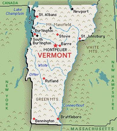
#23 Vermont VT •Elevation of 4,395 ft. at Mount Mansfield to 95 ft. at Lake Champlain, difference of 4,300 ft. |
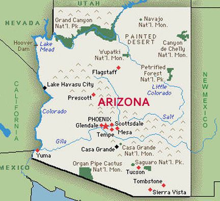
#24 Arizona AZ •Elevation of 12,637 ft. at Humphreys Peak to 70 ft. at Colorado River, difference of 12,567 ft. |
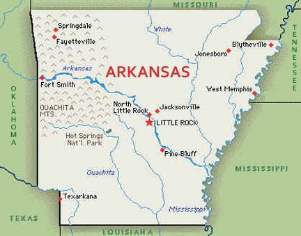
#25 Arkansas AR •Elevation of 2,653 ft. at Magazine Mountain to 55 ft. at Ouachita River, difference of 2,598 ft. |
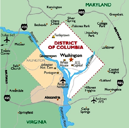
#26 District of Columbia DC •Elevation of 409 ft. at Fort Reno Park to 0 ft. at Potomac River, difference of 409 ft. |
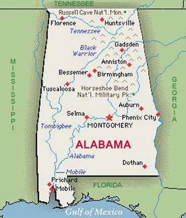
#27 Alabama AL •Elevation of 2,413 ft. at Cheaha Mountain to 0 ft. at Gulf of Mexico, difference of 2,413 ft. |
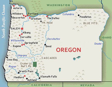
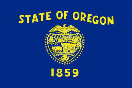
#28 Oregon OR •Elevation of 11,249 ft. at Mount Hood to 0 ft. at Pacific Ocean, difference of 11,249 ft. |
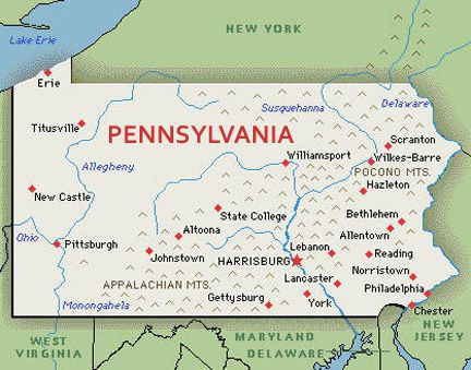
#29 Pennsylvania PA •Elevation of 3,213 ft. at Mount Davis to 0 ft. at Delaware River, difference of 3,213 ft. |
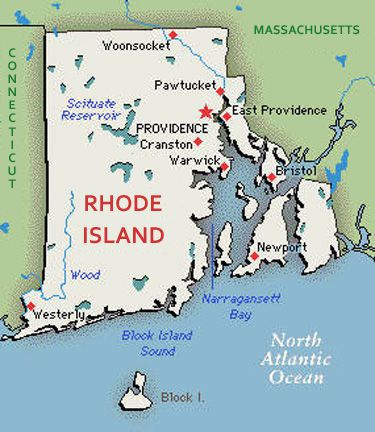
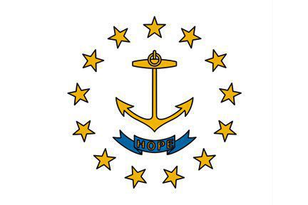
#30 Rhode Island RI •Elevation of 812 ft. at Jerimoth Hill to 0 ft. at Atlantic Ocean, difference of 812 ft. |
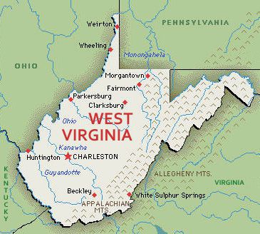
#31 West Virginia WV •Elevation of 4,863 ft. at Spruce Knob to 0 ft. at Potomac River, difference of 4,863 ft. |
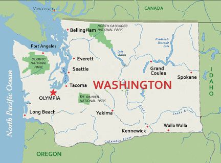
#32 Washington WA •Elevation of 14,410 ft. at Mount Rainier to 0 ft. at Pacific Ocean, difference of 14,410 ft. |
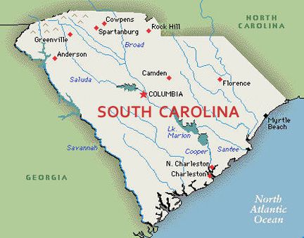
#33 South Carolina SC •Elevation of 3,560 ft. at Sassafras Mountain to 0 ft. at Atlantic Ocean, difference of 3,560 ft. |
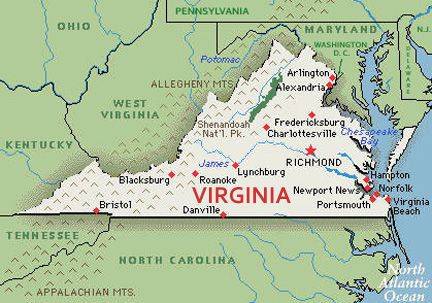
#34 Virginia VA •Elevation of 5,729 ft. at Mount Rogers to 0 ft. at Atlantic Ocean, difference of 5,729 ft. |
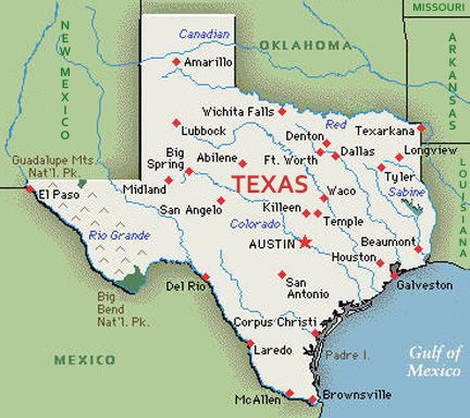
#35 Texas TX •Elevation of 8,751 ft. at Guadalupe Peak to 0 ft. at Gulf of Mexico, difference of 8,751 ft. |
|
Sorted by Lowest Point Above/Below Sea Level |
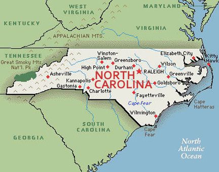
#36 North Carolina NC •Elevation of 6,684 ft. at Mount Mitchell to 0 ft. at Atlantic Ocean, difference of 6,684 ft. |
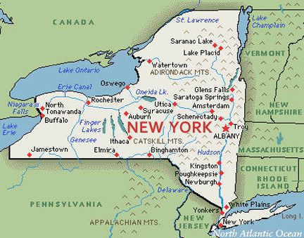
#37 New York NY •Elevation of 5,334 ft. at Mount Marcy to 0 ft. at Atlantic Ocean, difference of 5,334 ft. |
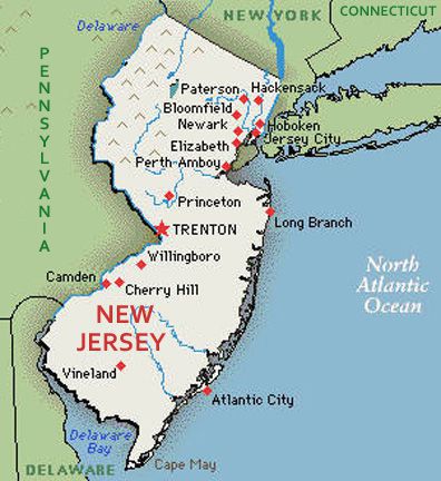
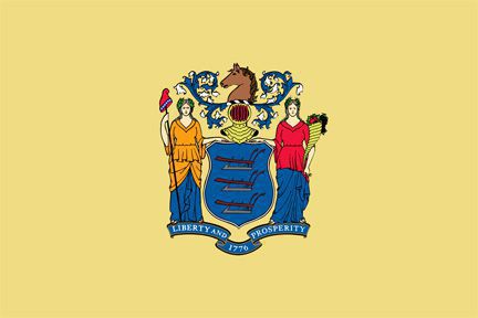
#38 New Jersey NJ •Elevation of 1,803 ft. at High Point to 0 ft. at Atlantic Ocean, difference of 1,803 ft. |
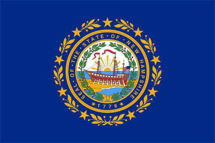
#39 New Hampshire NH •Elevation of 6,288 ft. at Mount Washington to 0 ft. at Atlantic Ocean, difference of 6,288 ft. |
#40 Mississippi MS •Elevation of 807 ft. at Woodall Mountain to 0 ft. at Gulf of Mexico, difference of 807 ft. |
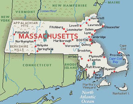
#41 Massachusetts MA •Elevation of 3,492 ft. at Mount Greylock to 0 ft. at Atlantic Ocean, difference of 3,492 ft. |
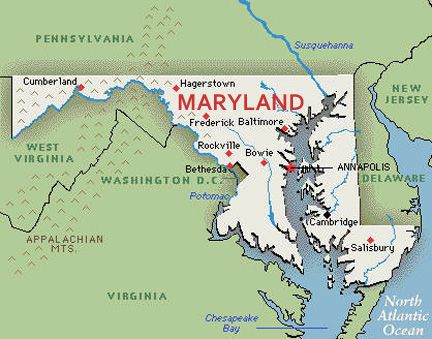
#42 Maryland MD •Elevation of 3,360 ft. at Hoye-Crest to 0 ft. at Atlantic Ocean, difference of 3,360 ft. |
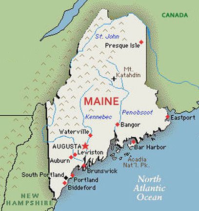
#43 Maine ME •Elevation of 5,368 ft. at Mount Katahdin to 0 ft. at Atlantic Ocean, difference of 5,368 ft. |
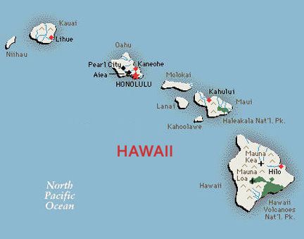
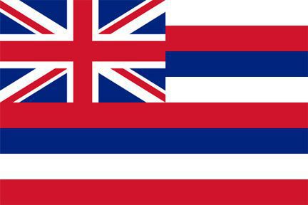
#44 Hawaii HI •Elevation of 13,803 ft. at Mauna Kea to 0 ft. at Pacific Ocean, difference of 13,803 ft. |
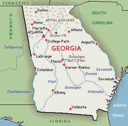
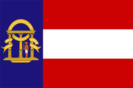
#45 Georgia GA •Elevation of 4,784 ft. at Brasstown Bald to 0 ft. at Atlantic Ocean, difference of 4,784 ft. |
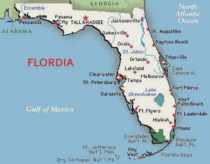
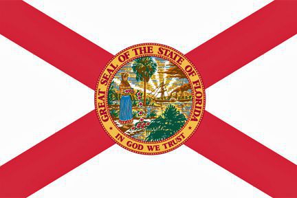
#46 Florida FL •Elevation of 345 ft. at Britton Hill to 0 ft. at Atlantic Ocean, difference of 345 ft. |
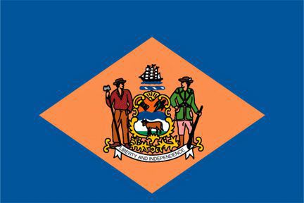
#47 Delaware DE •Elevation of 451 ft. at Ebright Azimuth to 0 ft. at Atlantic Ocean, difference of 451 ft. |
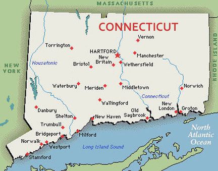
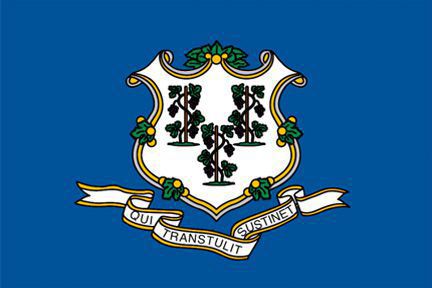
#48 Connecticut CT •Elevation of 2,380 ft. at Mount Frissell to 0 ft. at Long Island Sound, difference of 2,380 ft. |
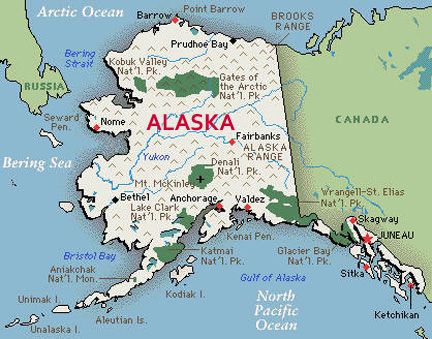
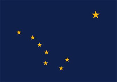
#49 Alaska AK •Elevation of 20,320 ft. at Mount McKinley to 0 ft. at Pacific Ocean, difference of 20,320 ft. |
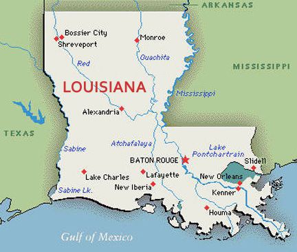
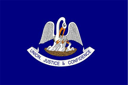
#50 Louisiana LA •Elevation of 535 ft. at Driskill Mountain to -8 ft. at New Orleans, difference of 543 ft. |
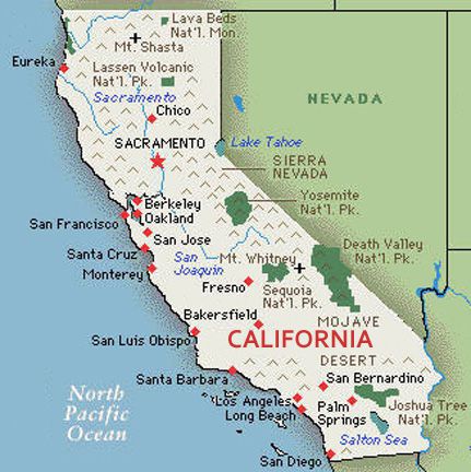
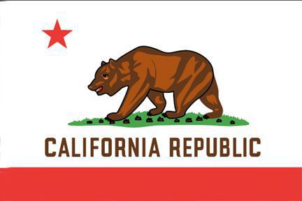
#51 California CA •Elevation of 14,505 ft. at Mount Whitney to -282 ft. at Badwater Basin, difference of 14,787 ft. |
* Officially RI is State of Rhode Island and Providence Plantations.
|
List of lowest elevations | ||
| Rank | State | lowest elevations |
| 1. | CO | 3,317 ft. (Arikaree River) |
| 2. | WY | 3,099 ft. (Belle Fourche River) |
| 3. | NM | 2,842 ft. (Red Bluff Reservoir) |
| 4. | UT | 2,000 ft. (Beaver Dam Wash) |
| 5. | MT | 1,800 ft. (Kootenai River) |
| 6. | SD | 966 ft. (Big Stone Lake) |
| 7. | NE | 849 ft. (Missouri River) |
| 8. | ND | 750 ft. (Red River) |
| 9. | ID | 710 ft. (Snake River) |
| 10. | KS | 679 ft. (Verdigris River) |
| 11. | MN | 601 ft. (Lake Superior) |
| 12. | WI | 579 ft. (Lake Michigan) |
| 13. | MI | 571 ft. (Lake Erie) |
| 14. | IA | 480 ft. (Mississippi River) |
| 15. | NV | 479 ft. (Colorado River) |
| 16. | OH | 455 ft. (Ohio River) |
| 17. | IN | 320 ft. (Ohio River) |
| 18. | OK | 289 ft. (Little River) |
| 19. | IL | 279 ft. (Mississippi River) |
| 20. | KY | 257 ft. (Mississippi River) |
| 21. | MO | 230 ft. (Saint Francis River) |
| 22. | TN | 178 ft. (Mississippi River) |
| 23. | VT | 95 ft. (Lake Champlain) |
| 24. | AZ | 70 ft. (Colorado River) |
| 25. | AR | 55 ft. (Ouachita River) |
| 26. | DC | 0 ft. (Potomac River) |
| 27. | AL | 0 ft. (Gulf of Mexico) |
| 28. | OR | 0 ft. (Pacific Ocean) |
| 29. | PA | 0 ft. (Delaware River) |
| 30. | RI | 0 ft. (Atlantic Ocean) |
| 31. | WV | 0 ft. (Potomac River) |
| 32. | WA | 0 ft. (Pacific Ocean) |
| 33. | SC | 0 ft. (Atlantic Ocean) |
| 34. | VA | 0 ft. (Atlantic Ocean) |
| 35. | TX | 0 ft. (Gulf of Mexico) |
| 36. | NC | 0 ft. (Atlantic Ocean) |
| 37. | NY | 0 ft. (Atlantic Ocean) |
| 38. | NJ | 0 ft. (Atlantic Ocean) |
| 39. | NH | 0 ft. (Atlantic Ocean) |
| 40. | MS | 0 ft. (Gulf of Mexico) |
| 41. | MA | 0 ft. (Atlantic Ocean) |
| 42. | MD | 0 ft. (Atlantic Ocean) |
| 43. | ME | 0 ft. (Atlantic Ocean) |
| 44. | HI | 0 ft. (Pacific Ocean) |
| 45. | GA | 0 ft. (Atlantic Ocean) |
| 46. | FL | 0 ft. (Atlantic Ocean) |
| 47. | DE | 0 ft. (Atlantic Ocean) |
| 48. | CT | 0 ft. (Long Island Sound) |
| 49. | AK | 0 ft. (Pacific Ocean) |
| 50. | LA | -8 ft. (New Orleans) |
| 51. | CA | -282 ft. (Badwater Basin) |
| go to bottom | ||
Other Pages in Names Galore | |
Famous Cowboys Sports Team Names Other Name Lists
| Name Generators Naming Fun Stories about Names |